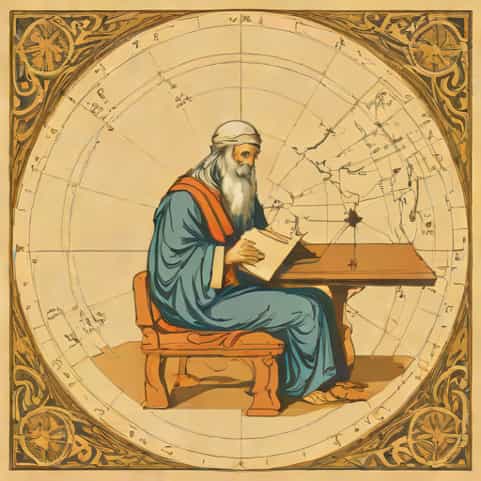
Claudius Ptolemy, widely recognized as one of the greatest geographers of the ancient world, made profound contributions to the understanding of geography, astronomy, and mathematics. Living in the Roman city of Alexandria during the 2nd century CE, Ptolemy compiled, analyzed, and expanded upon centuries of knowledge, creating works that influenced scholars for over a millennium. His insights laid the foundation for modern cartography and geography, and his ideas shaped how people perceived the world for centuries. Exploring Ptolemy’s life, works, and legacy offers a fascinating glimpse into the history of scientific thought and the enduring impact of his contributions to human knowledge.
Early Life and Background
Ptolemy was born in Alexandria, Egypt, around 100 CE, a city known for its rich intellectual tradition and renowned Library of Alexandria. Although precise details of his life are scarce, it is believed that Ptolemy was educated in mathematics, astronomy, and geography, which were interconnected disciplines in the Hellenistic world. His ability to synthesize complex information and present it systematically became a hallmark of his work, earning him recognition as a polymath and visionary scholar.
Influences on Ptolemy
- Earlier Greek and Hellenistic scholars, such as Eratosthenes and Hipparchus, heavily influenced his thinking.
- Ptolemy built upon the knowledge of previous astronomers and geographers, refining calculations and expanding geographic data.
- The intellectual environment of Alexandria, with its access to manuscripts and international trade routes, provided Ptolemy with the resources to compile a vast array of geographic information.
Ptolemy’s Major Works
Ptolemy is best known for several works that made enduring contributions to geography, astronomy, and cartography. Among these, two stand out for their significance and lasting influence the Geographia and the Almagest.
Geographia
The Geographia, sometimes called the Cosmographia, is Ptolemy’s most famous geographic work. This extensive treatise compiles information about the known world, including coordinates for thousands of locations and detailed maps. Ptolemy introduced the use of latitude and longitude to specify locations, providing a systematic method for mapping the earth. Although some of his data were inaccurate due to limited exploration, the methods he employed set the stage for future cartographers and explorers.
- Included a world map and instructions for creating maps of various regions.
- Introduced a coordinate system that allowed for more precise mapping of locations.
- Influenced European exploration and mapmaking during the Renaissance.
Almagest
Although primarily focused on astronomy, the Almagest also contributed to Ptolemy’s geographic understanding by providing insights into the movement of celestial bodies and their relationship to Earth. The Almagest presented a geocentric model of the universe, in which the Earth was at the center. While later disproven by the heliocentric model, Ptolemy’s work was remarkably influential, guiding astronomical studies for more than a thousand years.
Contributions to Geography
Ptolemy’s contributions to geography were revolutionary for his time. By combining mathematical principles with empirical observations, he created a systematic approach to understanding the earth’s surface. His work emphasized the importance of measurement, observation, and the use of coordinates in mapping.
Mapping the Known World
- Ptolemy’s maps depicted regions of Europe, Asia, and Africa, providing one of the most comprehensive geographic references of the ancient world.
- He relied on reports from travelers, merchants, and previous scholars to gather information about distant locations.
- The maps included cities, rivers, mountains, and other significant features, giving a more complete picture of the world than previously available.
Introduction of Latitude and Longitude
One of Ptolemy’s most significant innovations was the introduction of a coordinate system using latitude and longitude. This allowed for the precise plotting of locations and laid the foundation for modern cartography. By assigning numerical values to geographic locations, Ptolemy made it possible to compare and relate different places systematically.
Impact on Later Explorers and Cartographers
Ptolemy’s work remained influential long after his death, particularly during the European Renaissance. His Geographia was rediscovered and translated into Latin, inspiring explorers and mapmakers to expand their understanding of the world. The precision and methodology he introduced guided early modern explorers, including Christopher Columbus and Vasco da Gama, in their voyages of discovery.
Renaissance Rediscovery
- Latin translations of Geographia made Ptolemy’s knowledge accessible to European scholars.
- Cartographers used his coordinate system to create more accurate maps, sometimes correcting errors based on new discoveries.
- Ptolemy’s influence extended to navigation, geography education, and the development of world atlases.
Legacy in Science and Cartography
Ptolemy’s legacy is evident in multiple scientific disciplines. His methods of systematic observation and mathematical modeling influenced both geography and astronomy. The geocentric model, although eventually replaced, demonstrated the importance of synthesizing empirical evidence into a coherent system. In cartography, his use of coordinates and map projections paved the way for modern techniques in mapping and spatial analysis.
Challenges and Criticisms
Despite his accomplishments, Ptolemy faced limitations due to the knowledge and technology of his time. Some of his geographic data were inaccurate, particularly regarding the size of continents and distances between locations. His reliance on secondhand reports and incomplete exploration contributed to errors. Additionally, his geocentric model of the universe was later proven incorrect. Nevertheless, these challenges do not diminish the significance of his systematic approach and methodological innovations.
Inaccuracies in Mapping
- Some maps underestimated the size of certain continents, such as Asia and Europe.
- Cities and rivers were occasionally misplaced due to incomplete or unreliable reports.
- Modern historians and geographers recognize these errors as understandable limitations given the context of his time.
Scientific Critiques
Later astronomers, including Copernicus and Galileo, criticized Ptolemy’s geocentric model, leading to the development of heliocentric theory. However, his analytical methods and emphasis on observation continued to inspire scientific inquiry and rigorous methodology.
Ptolemy, the great geographer, left an indelible mark on the history of science and cartography. His systematic approach to mapping, introduction of coordinates, and integration of geographic and astronomical knowledge provided a foundation for future explorers, scientists, and cartographers. Despite some inaccuracies, his work demonstrated the power of observation, analysis, and synthesis in understanding the world. Ptolemy’s influence extended well beyond his lifetime, shaping geographic thought for centuries and inspiring generations to explore, map, and comprehend the complexities of our planet. Recognizing Ptolemy’s achievements helps us appreciate the historical roots of geography and the enduring quest to understand the earth and its many wonders.