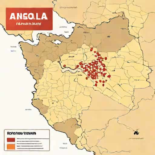
The Angolan Civil War, one of Africa’s longest and most complex conflicts, spanned from 1975 to 2002 and involved multiple factions vying for control of the country after independence from Portugal. Understanding this war requires a careful look at the geographical distribution of conflict, which is best represented through detailed maps of the Angolan Civil War. These maps illustrate territorial control, major battles, key supply routes, and the shifting influence of groups such as MPLA, UNITA, and FNLA over nearly three decades. By studying the map of the Angolan Civil War, historians, researchers, and students can gain a clearer picture of how geography, natural resources, and regional alliances influenced the course of the conflict.
Overview of the Angolan Civil War
The Angolan Civil War began shortly after the country gained independence from Portugal in 1975, following a struggle for liberation that involved multiple nationalist movements. The primary factions included the Popular Movement for the Liberation of Angola (MPLA), the National Union for the Total Independence of Angola (UNITA), and the National Liberation Front of Angola (FNLA). Each group sought political and military dominance, often supported by foreign powers, with the MPLA backed by the Soviet Union and Cuba, while UNITA and FNLA received support from the United States and South Africa. Mapping these movements helps contextualize the military and political strategies employed by each faction.
Importance of Mapping the Conflict
Maps of the Angolan Civil War are essential for visualizing the distribution of power and understanding the dynamics of the conflict. They provide insights into the geographic challenges faced by each faction, including the role of natural features like rivers, mountains, and the vast interior of Angola. Maps also highlight key areas of strategic importance, such as Luanda, the capital, and resource-rich regions including oil fields and diamond mines. These geographic factors played a critical role in determining the success or failure of military campaigns and the shifting balance of power throughout the war.
Key Regions and Territorial Control
The map of the Angolan Civil War typically shows how territorial control fluctuated between factions over time. In the early years, the MPLA established control over Luanda and the coastal areas, leveraging its access to ports and international recognition. UNITA, under Jonas Savimbi, controlled large portions of the central and southern regions, using the rural interior as a base for guerrilla operations. FNLA had influence primarily in the northern regions, though its power waned after the first few years of the conflict. Understanding these territorial divisions provides crucial context for interpreting battles, troop movements, and foreign interventions.
Major Battles and Strategic Locations
- Battle of LuandaControl of the capital was vital for political legitimacy and international recognition, with the MPLA ultimately securing dominance.
- Benguela RailwayThis transportation route was strategically important for moving troops and resources, often targeted in UNITA attacks.
- Oil and Diamond FieldsControl of resource-rich areas such as Cabinda and Lunda provinces influenced funding and foreign support for each faction.
- Rural StrongholdsUNITA’s operations in the central highlands utilized guerrilla tactics and difficult terrain to resist MPLA advances.
Foreign Influence and Support
Maps also illustrate the extent of foreign involvement in the Angolan Civil War. Cuban troops and Soviet advisors were concentrated in MPLA-held areas, while UNITA benefited from training, funding, and arms supplied by South Africa and the United States. The geographic placement of foreign troops and support hubs is crucial to understanding how external powers shaped military campaigns. Regions with significant foreign presence often became focal points for major offensives and defensive operations, highlighting the international dimension of the conflict.
Impact of Geography on Warfare
The Angolan terrain heavily influenced the conduct of the civil war. Dense forests, savannas, and mountainous areas provided natural cover for guerrilla operations, particularly benefiting UNITA’s strategies in the interior regions. Coastal areas and river networks were vital for supply lines and communication, favoring the MPLA in regions near Luanda and other port cities. Mapping these geographic features helps explain the prolonged nature of the war and the challenges faced by conventional armies attempting to assert control over the vast and varied landscape.
Humanitarian Impact and Refugee Movements
The map of the Angolan Civil War also highlights the movement of civilians, refugee camps, and areas affected by conflict. Millions of Angolans were displaced during the war, fleeing areas of intense fighting and seeking safety in neighboring countries or remote regions within Angola. Mapping these movements provides insight into the humanitarian crisis, illustrating the scale of displacement, access to resources, and the challenges faced by relief organizations. The human impact of territorial battles and shifting frontlines is a critical aspect of understanding the war’s broader consequences.
Post-War Demarcation and Reconstruction
Following the peace agreement in 2002, maps of Angola were updated to reflect post-war administrative divisions, resettlement areas, and reconstruction projects. These maps show how former conflict zones were reintegrated, infrastructure rebuilt, and refugee populations returned. Mapping the aftermath of the war is essential for understanding the process of national reconciliation, economic recovery, and regional development, highlighting how geography continues to influence Angola’s political and social landscape even after the cessation of hostilities.
Research and Educational Value of War Maps
Maps of the Angolan Civil War serve as valuable tools for researchers, educators, and students. They provide a visual representation of historical events, helping to clarify complex movements, strategies, and alliances. War maps also facilitate comparative studies with other civil conflicts in Africa and around the world, offering lessons in military strategy, geopolitical influence, and the consequences of prolonged warfare. For students, these maps are instrumental in understanding the interplay between geography, politics, and human experience during a tumultuous period in Angola’s history.
Analyzing Patterns of Conflict
By studying the map of the Angolan Civil War, analysts can identify patterns such as the correlation between resource-rich areas and prolonged fighting, the influence of terrain on guerrilla tactics, and the impact of foreign interventions. Mapping these patterns aids in developing a comprehensive understanding of the war’s progression and the factors that prolonged it for nearly three decades. This approach underscores the importance of geographic literacy in interpreting historical events and military campaigns effectively.
The map of the Angolan Civil War is more than just a representation of territorial control; it is a window into the complexities of one of Africa’s most enduring conflicts. By illustrating the geographic distribution of power, key battles, foreign influence, and humanitarian impacts, these maps provide critical insights into the political, military, and social dimensions of the war. They highlight the strategic importance of terrain, the role of natural resources, and the human cost of prolonged conflict, offering a comprehensive perspective for historians, researchers, and educators alike.
In summary, studying the map of the Angolan Civil War allows for a deeper understanding of how geography shaped the strategies, outcomes, and humanitarian consequences of the conflict. It reveals the shifting control of regions, the importance of strategic resources, and the role of foreign intervention in influencing the course of the war. By analyzing these maps, observers can appreciate the intricate dynamics that prolonged the conflict and better understand the challenges faced in post-war reconstruction and reconciliation.
Ultimately, the map of the Angolan Civil War serves as an essential educational tool, capturing the complex interplay between geography, military strategy, and human experience. It provides a clear visual framework for understanding a multifaceted conflict that affected millions and shaped the future of Angola. Through careful study of these maps, researchers and students gain valuable insights into both historical events and the broader lessons that civil conflicts can teach about resilience, strategy, and the importance of geographic awareness in times of war.