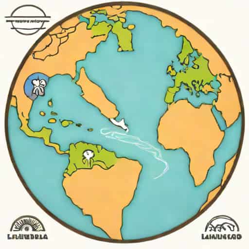
Pangaea is often imagined as a single giant landmass that existed millions of years ago, long before the continents took their current shape. What many people find fascinating is the moment when this supercontinent began to split into two major pieces Laurasia and Gondwanaland. This transition, which happened roughly 200 million years ago, shaped the geography, climate, and evolutionary paths of life on Earth. Understanding how Pangaea divided into Laurasia and Gondwanaland can help explain many features of today’s world, from mountain ranges and oceans to the distribution of ancient fossils found across different continents.
The Breakup of Pangaea
Pangaea formed during the late Paleozoic Era when smaller landmasses collided and merged. For millions of years, it remained a massive unified plate surrounded by the superocean Panthalassa. Eventually, internal geological pressures and movements within Earth’s mantle triggered the slow but powerful process of continental rifting. The breakup of Pangaea did not happen suddenly; instead, it took tens of millions of years for the land to separate and drift apart.
As cracks formed and tectonic plates shifted, Pangaea began dividing into two enormous fragments the northern continent Laurasia and the southern continent Gondwanaland. This division represents one of the most important events in plate tectonics, influencing global climate patterns and the evolution of life.
Understanding Laurasia
Laurasia occupied the northern part of the ancient supercontinent. It included land that would eventually become North America, Europe, and Asia (excluding India). When Laurasia formed, it was positioned closer to the equator, giving it a relatively warm climate during the early stages of its separation.
Composition of Laurasia
- North America
- Europe
- Most of Asia
These regions share some geological similarities today, partly due to their ancient connection. For example, the Appalachian Mountains in North America once aligned with mountain ranges in Scotland and Scandinavia. This continuity provides strong evidence that these areas were once part of a unified landmass.
Geological Activity in Laurasia
As Laurasia drifted away from Gondwanaland, new oceans formed, such as the early Atlantic Ocean. The separation also led to major changes in volcanic activity, earthquakes, and the formation of new coastlines. Laurasia continued to break into smaller pieces over millions of years, eventually creating the continents we recognize today.
The Significance of Gondwanaland
Gondwanaland, or Gondwana, was the southern portion of Pangaea. It included what are now South America, Africa, Antarctica, Australia, and the Indian subcontinent. Gondwanaland was massive and stretched far into the southern hemisphere, containing a wide variety of climates ranging from tropical forests to glaciated regions.
Regions That Formed Gondwanaland
- South America
- Africa
- Antarctica
- Australia
- India
- Madagascar
The presence of similar fossils in these widely separated continents today supports the theory that they were once connected. For example, fossils of the ancient reptile Mesosaurus are found in both South America and Africa, despite the Atlantic Ocean separating them now. Such discoveries helped early scientists understand the concept of continental drift long before modern plate tectonic theory was fully developed.
Climate and Environment of Gondwanaland
Because Gondwanaland stretched from equatorial regions to polar zones, it hosted an incredible variety of ecosystems. Some areas were lush and warm, while others experienced long periods of snow and ice. The movement of Gondwanaland over time also played a role in shaping global sea levels and ocean currents.
Why Pangaea Divided
The breakup of Pangaea into Laurasia and Gondwanaland was driven by tectonic forces beneath Earth’s crust. Heat rising from the mantle created convection currents, which slowly pushed the plates apart. As these forces built up, rifts formed within Pangaea, eventually widening into oceans.
Main Causes of the Breakup
- Mantle ConvectionHeated material rising and falling in the mantle pushed the plates in different directions.
- Rift FormationCracks developed in the crust, leading to the formation of ocean basins.
- Plate MovementThe slow but constant drift of tectonic plates pulled the continents apart.
This process continues today. The continents are still moving, sometimes only a few centimeters per year, but over millions of years, these movements dramatically reshape Earth’s surface.
What Happened After the Split
Once Laurasia and Gondwanaland separated, they continued drifting and evolving. New oceans formed between them, including the Tethys Sea. Over time, both supercontinents underwent further fragmentation.
Breakup of Laurasia
Laurasia eventually separated into North America and Eurasia. The opening of the North Atlantic Ocean pushed these continents apart. Europe and Asia remained connected, forming the vast Eurasian continent that exists today.
Breakup of Gondwanaland
The fragmentation of Gondwanaland occurred in several stages
- India split off and began moving north.
- Africa separated from South America as the Atlantic Ocean widened.
- Australia broke away from Antarctica and moved toward Southeast Asia.
India’s rapid movement eventually caused it to collide with Asia, forming the Himalayas the tallest mountain range on Earth. This collision is a direct result of the breakup of Gondwanaland.
The Lasting Impact of the Division
The separation of Pangaea into Laurasia and Gondwanaland shaped much of Earth’s climate, geology, and biology. The location of continents influences ocean currents and atmospheric circulation, which in turn affects global climate patterns. The drifting of continents also created new habitats and isolated species, contributing to the biodiversity we see today.
For example, the isolation of Australia allowed marsupials to evolve separately from other mammals. The unique wildlife in South America and Madagascar also reflects their ancient separation from other landmasses.
How Scientists Study Pangaea
Scientists use multiple methods to reconstruct how Pangaea divided and how the continents moved
- Fossil EvidenceIdentical species found on different continents.
- Rock FormationsMatching geological structures across oceans.
- PaleomagnetismAncient magnetic patterns frozen in rocks.
- Modern GPS TechnologyMeasures ongoing plate movements.
These tools help researchers understand both the past and the future of continental drift.
The division of Pangaea into Laurasia and Gondwanaland represents one of the most important events in Earth’s geological history. This ancient split influenced the shape of the continents, the evolution of life, and the global climate system. By studying how Pangaea broke apart, scientists gain insight into the dynamic nature of the planet and the forces that continue to shape it today. The story of Laurasia and Gondwanaland serves as a powerful reminder that Earth’s surface is never static it is constantly shifting, merging, and separating, even if the changes are too slow to see within a single lifetime.